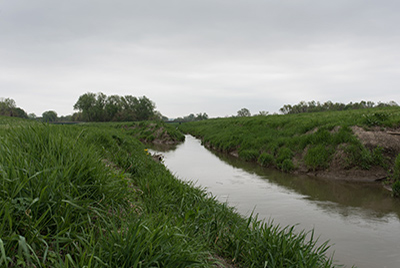

Driving on any of the main north-south roads in this area, one is certain to cross the milky channel of the diverted Cahokia Creek. Originally wending its way through the bulk of the floodplain, feeding Horseshoe Lake and various other lakes in the floodplain on its way to the Mississippi River. Old Cahokia Creek channeled the 1,300-acre upland watershed that feeds and drains the entire midportion of the American Bottom. Cahokia Creek enters the floodplain just north of the Southern Illinois University at Edwardsville (SIUE) campus and winds its way south along the Wood River Terrace at a slope of approximately one and a half feet per mile. The creek formerly flowed into the eastern corner of Horseshoe Lake, which served as a vast reservoir to capture local discharge. Spilling out of the southwestern reach of the lake, the south branch of the creek has now been channelized as well—with the Cahokia Canal Pump Station designed to discharge the canal flow back into the Mississippi River. While the majority of the original creek has been diverted into engineered channels, traces of the creek are still visible throughout the bottomlands—as saturated scars in agricultural fields, forested lowlands, wetlands, or backwater sloughs.