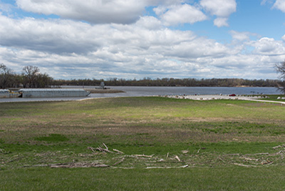
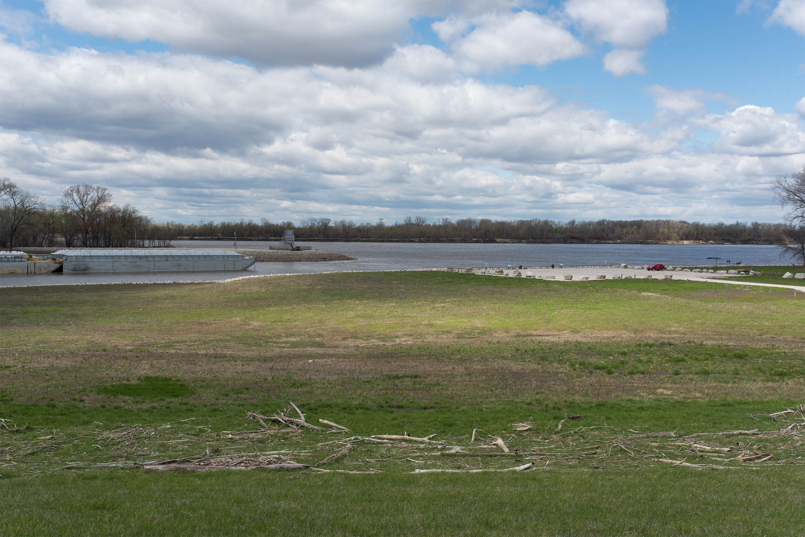
Continuing on the levee high above the agricultural land to the left and the forested bottomland to the right, one occupyies the line where the US Army Corps of Engineers have decided to say: this side stays dry, this side can flood. Following the levee road to where it is chained off, one might descend (carefully, if in a passenger vehicle) the steep face of the levee to the parking lot below. This lot marks the northern end of the Chair of Rocks Canal. Off the beaten track, if there are any vehicles in the parking lot they are likely occupied by retired corps employees, simply watching the tugs and tows as they navigate into the slot of the canal. At the river's edge are interpretive signs explaining the rudiments of the working river—with the various barge types all neatly illustrated.