Driving on any of the main north-south roads in this area, one is certain to cross the milky channel of the diverted Cahokia Creek. Originally wending its way through the bulk of the floodplain—feeding Horseshoe Lake and various other lakes in the floodplain on its way to the Mississippi River—Old Cahokia Creek supported the 1,300-acre watershed that feeds and drains the entire midportion of the American Bottom. The ensuing Cahokia Creek channel enters the floodplain just north of the Southern Illinois University at Edwardsville (SIUE) campus and winds its way south along the Wood River Terrace at a slope of approximately one and a half feet per mile. The creek formerly flowed into the eastern corner of Horseshoe Lake, which served as a vast reservoir to capture local discharge. Spilling out of the southwestern reach of the lake, the south branch of the creek has now been channelized as well—with the Cahokia Canal Pump Station designed to discharge the canal flow back into the Mississippi River. While the majority of the original creek has been diverted into engineered channels, traces of the creek are still visible throughout the bottomlands—as saturated scars in agricultural fields, forested lowlands, wetlands, or backwater sloughs.
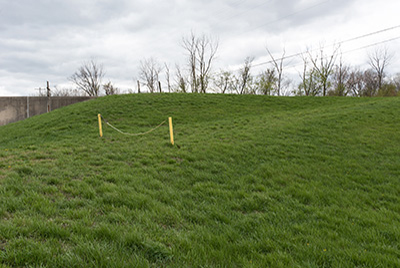
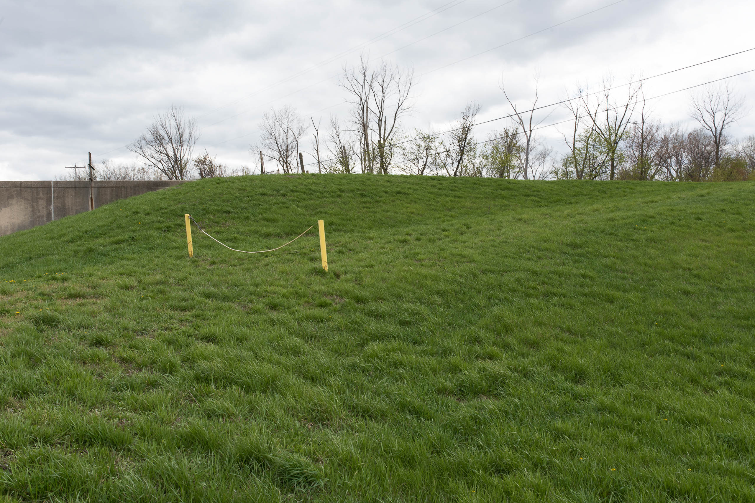
The primary flow of what is now a severely ecologically-impaired regional waterway is channelized in what the US Army Corps of Engineers calls the Cahokia Diversion Channel, which picks up the creek at the place where it first enters the floodplain at the bluff. The two levees that parallel the channel and keep its water contained during heavy local rains are instructive to the working of the complex network of flood-prevention infrastructure in the region. The levee to the north of the channel is in fact the southern stretch of the Wood River Levee District; while that to the south of the channel is the northern stretch of the Metro East levee system. These respective levees begin at the bluff, parallel each other through the bottomlands, then diverge as they track the riverfront north and south—only to return back to the bluff at later points. The channel, then, can be seen as the space between two basins—itself connected to the river and allowed to flood during high-water seasons.