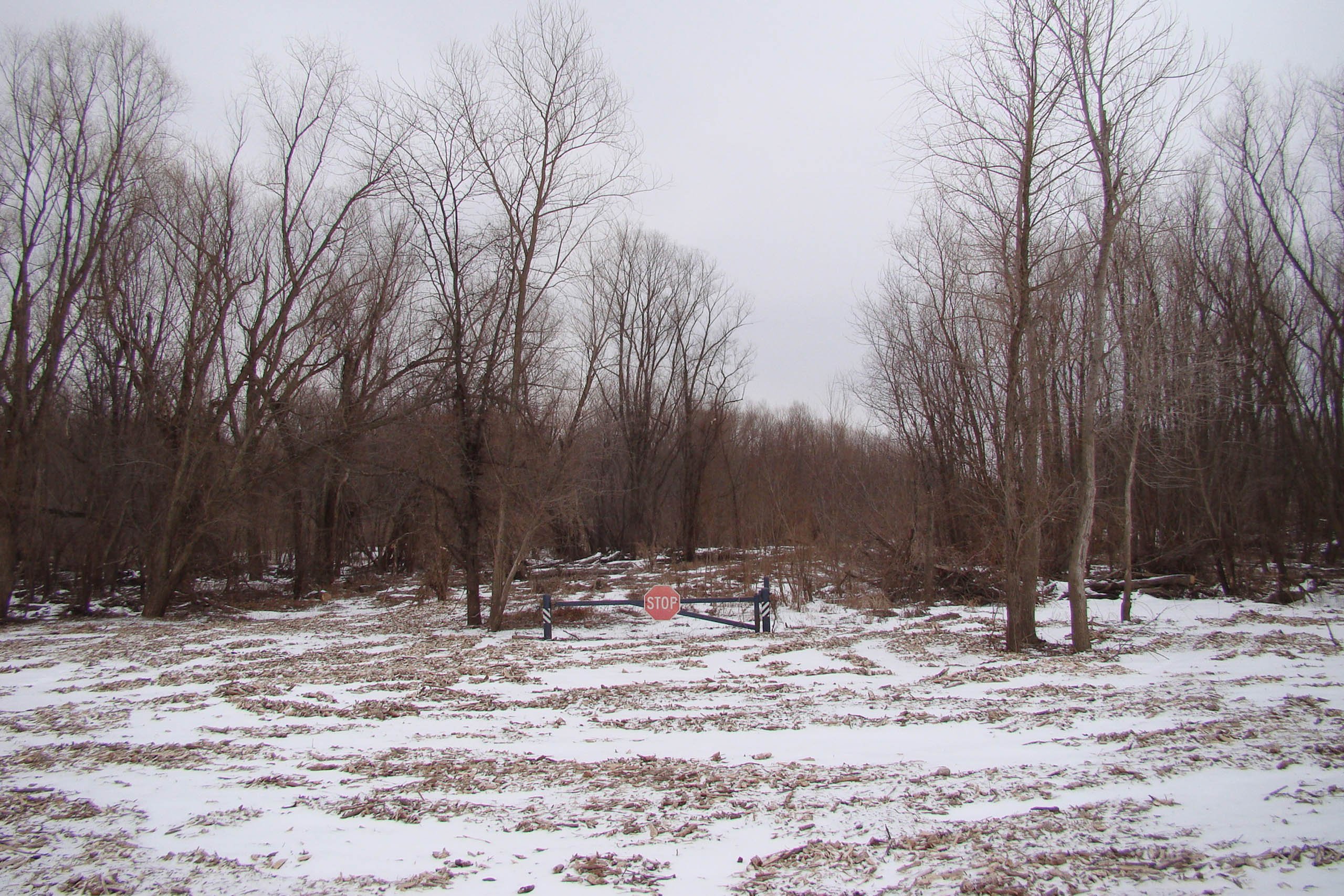


If one stands atop the levees near the river's bend and looks out over the broad arc of the Mississippi to the woody islands on the far side, the approximate location of the original Camp DuBois—the 1803 winter camp of the Lewis and Clark Expedition–is visible. While now on the west side of the river, in 1803 this site was on the east side of the river and, crucially, on what was then U S territory. At that time, the Spanish Crown held land west of the river, and the US federal government was careful in siting the Corps of Discovery camp so as not to further antagonize the Spanish officials already concerned by what they viewed as a covert operation into Spanish territory.
At stake were the complex negotiations then taking place between the American, French, and Spanish governments for the transfer of a vast portion of the North American continent in a transaction that would later come to be known as the Louisiana Purchase. Over the course of a few days in early March 1804, the lands of Upper Louisiana Territory were to pass through the sovereign hands of three countries. First, on March 9, all lands west of the Mississippi were passed from Spain to France, and then, on March 10, from France to the United States. As a high-ranking officer who was already in the region, Captain Meriwether Lewis was a central witness to the negotiations.
The effect of this complex political and territorial maneuvering was to definitively mark the expansionist course that America would take throughout the nineteenth century. Yet even the siting of the corps camp, and the shifting terrain beneath it, marks the very idea of territorial demarcation as contingent, fluid, and—always—temporary.