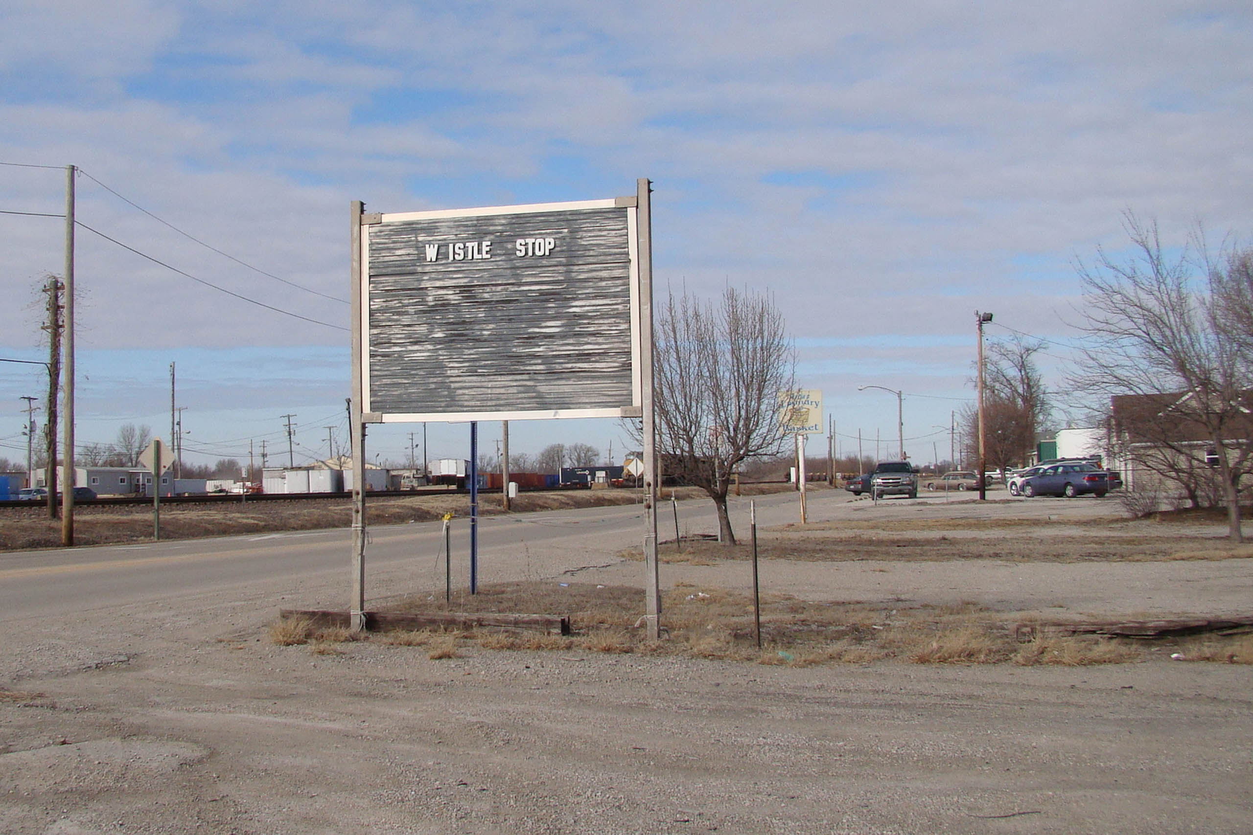


One mile south of Cahokia, at a point where the bluff edges of the American Bottom neck down from their wide, northern industrial zone to a narrower, southern agricultural stretch, is the village of Dupo. Sited just south of what used to be a perennial creek and adjacent to what is now the large inter-levee zone between the Metro East and Prairie du Pont levee districts, the village was settled in 1750 by inhabitants from Cahokia who were seeking a less flood-prone site on higher ground (Dupo is further from the river and about 12 feet higher than Cahokia). While the origins of the Dupo name are debated, the most probable story has it as an Anglicized and simplified mispronunciation of Prairie du Pont—or “Bridge Prairie”—named after a roughly-constructed bridge that used to cross the creek north of the town and still gives its name to the creek and levee district in this area. Du Pont corrupted into Dupo. Such simplifications are common in the St. Louis and American Bottom area where little of the French pronunciation reliably makes its way into English. Present-day Main Street Dupo is an interestingly one-sided affair, organized along one side of a long stretch of rail lines with a large Union Pacific train depot located in the center (and giving rise the another hypothesis as to the origin of the town’s name). On the other side of town are the limestone bluffs that give the American Bottom its sharp definition, and the town is flanked on its northeast and southeastern edges by large limestone aggregate quarries (a common feature along the bluff lines of the American Bottom) in addition to a little-known 65-foot waterfall called Falling Spring pouring midway out of the face of the bluff just to the northeast of town behind a small trailer park.