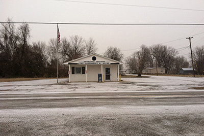
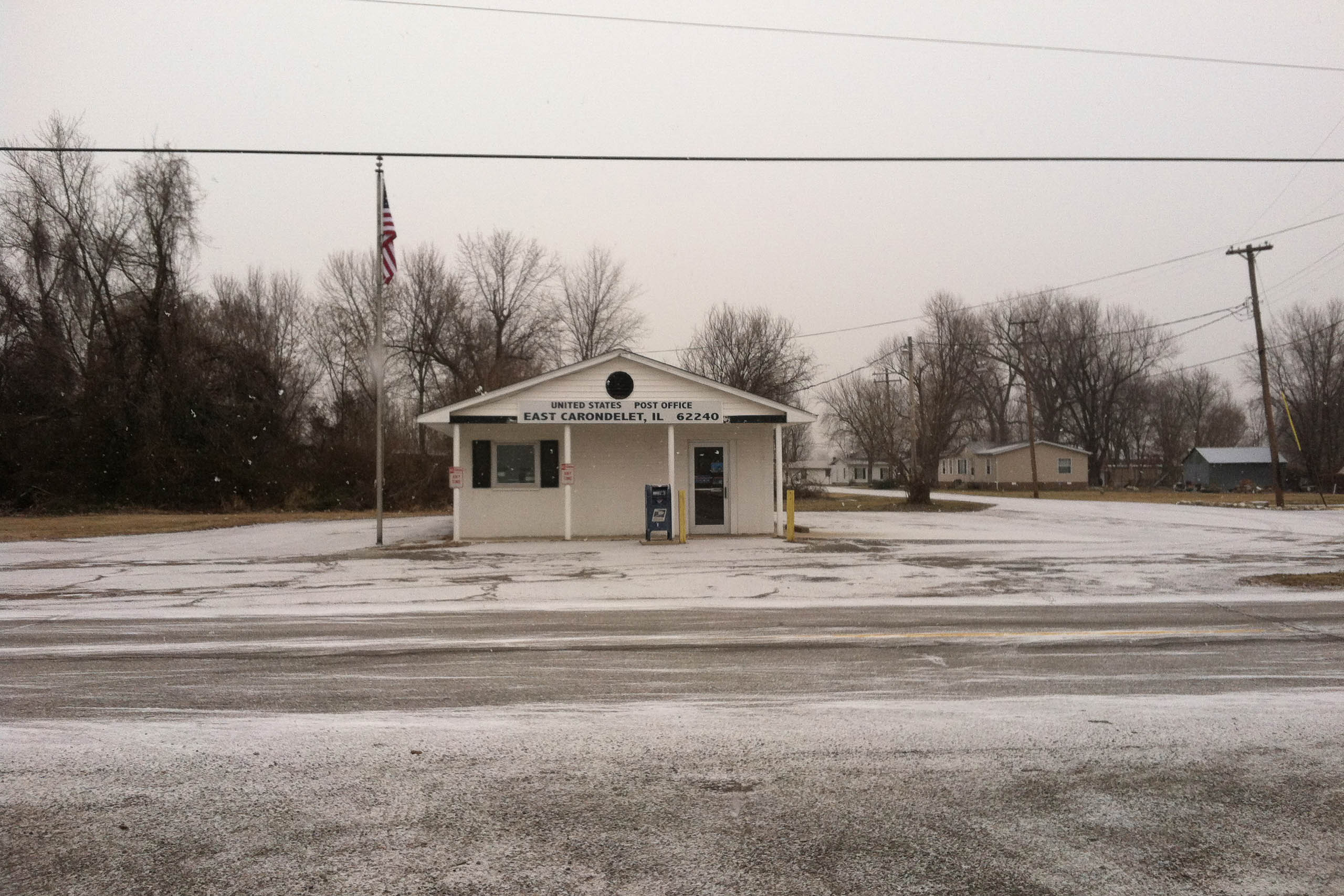
At one time, East Carondelet was known for its pleasant, sandy shores that drew sunbathers and river swimmers from around the region. As the city’s name suggests, it takes its place immediately across the river from the larger and more prosperous Carondelet neighborhood (née Village) on the Missouri side of the river. These twinned entitles were at one time connected by one of the more active ferry crossings in the region—the Davis Street Ferry—with agricultural goods moving from the rich bottomland to the more populous western banks. In one of the many acts of urban neutering found across the American Bottom, levee construction and river training in the early parts of the twentieth century effectively cut off East Carondelet from its riverine neighbor to which it owes its existence. Present-day East Carondelet is sparsely arrayed along its main thoroughfare, State Street, which stretches from Dupo to the site of the former sandbar that drew nineteenth-century pleasure seekers to its banks. Just to the southwest of the village, at the site of the old ferry crossing and across the old Prairie du Pont Creek channel, is the regional office of Ingram Barge—the nation’s largest inland-waterways carrier—as well as the Levee Bar and Grill, a welcoming and way-out-of-the-way local destination.