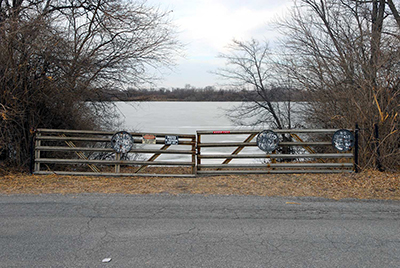
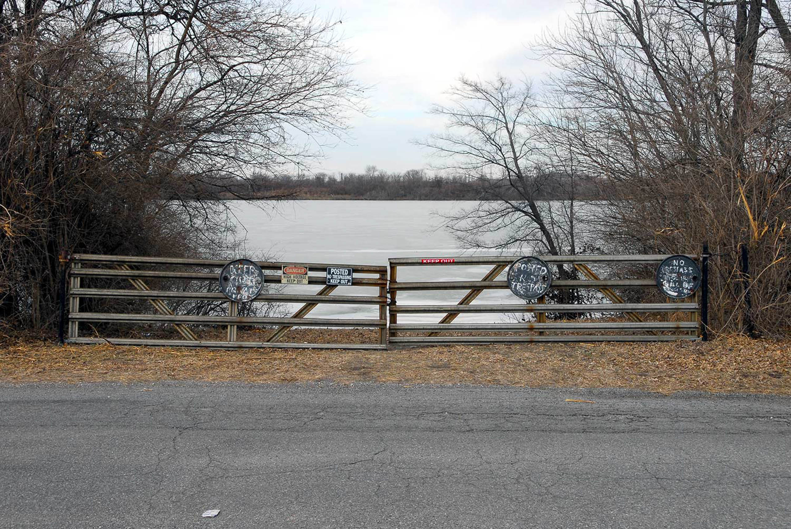
One of the largest remaining water bodies in the American Bottom, Moredock Lake is again a reminder of the saturated, lacustrine habitat that was once the defining feature of the floodplain. An almost-perfect arm of a former meander embayment, Moredock helps to explain the carved silhouette of the bluffs in this stretch of the bottom. While the territory between the bluff and the lake was originally heavily wooded with both hard and softwood, the area around Moredock Lake was designated l’Aigle prairie—“Eagle Prairie”—in French land records. If attentive, in late January and early February, one can still spot bald eagles that migrate south during the winter. The land southwest of Valmeyer is designated as ”sandy meadows” on old maps, indicating one of the more common soil types found in the bottoms. The lake takes its name from John Moredock, an early American settler from the 1790s whose house still stands on the south side of lake. He is buried in Eagle Cliff Cemetery just up the road.
While the lake was once known as a prime destination for fishers from the St. Louis region, since the flood of 1993 it has seen a precipitous drop in use. With the river waters that poured through the levees near here came a range of invasive river fish—carp, gar, drum, and buffalo fish—that outcompete the more desired bass, crappie, and bluegill of game fishers. In the years following the flood, the town of Valmeyer contracted with a local fertilizer interest to cull what they call ”rough fish” from the lake using gill nets. While some of the fish taken in these cullings end up in church fish fries ubiquitous across the American Bottom, most are shipped elsewhere—including New York to be made into gefilte fish.