Driving along Collinsville Road adjacent to Fairmont City is a distinct topographic transition marking the edge of the former Indian Lake. To the north, one can detect a noticeable drop in grade—with the marshy lowlands of the lakebed still legible between the trees and reeds. Here, along this small ridge formed by the natural levee formed by the ancient river meander, was a string of Indian mounds—Powell, Wilson, and Sam Chucalo Mounds—that were part of the larger Cahokia polity. Extending along an ancient causeway connecting Cahokia with East St. Louis that followed this ridge, these mounds have been for the most part destroyed—lying, as they were, on the outskirts of the more charismatic clustering at what would become Cahokia Mounds State Park. Taking cues from the native topographic rise of the natural levee, precontact Native Americans sited a series of burial and other mounds on land held up out of the flood-prone area below. In this, one can detect a fundamental human pattern of site selection.
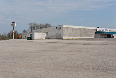
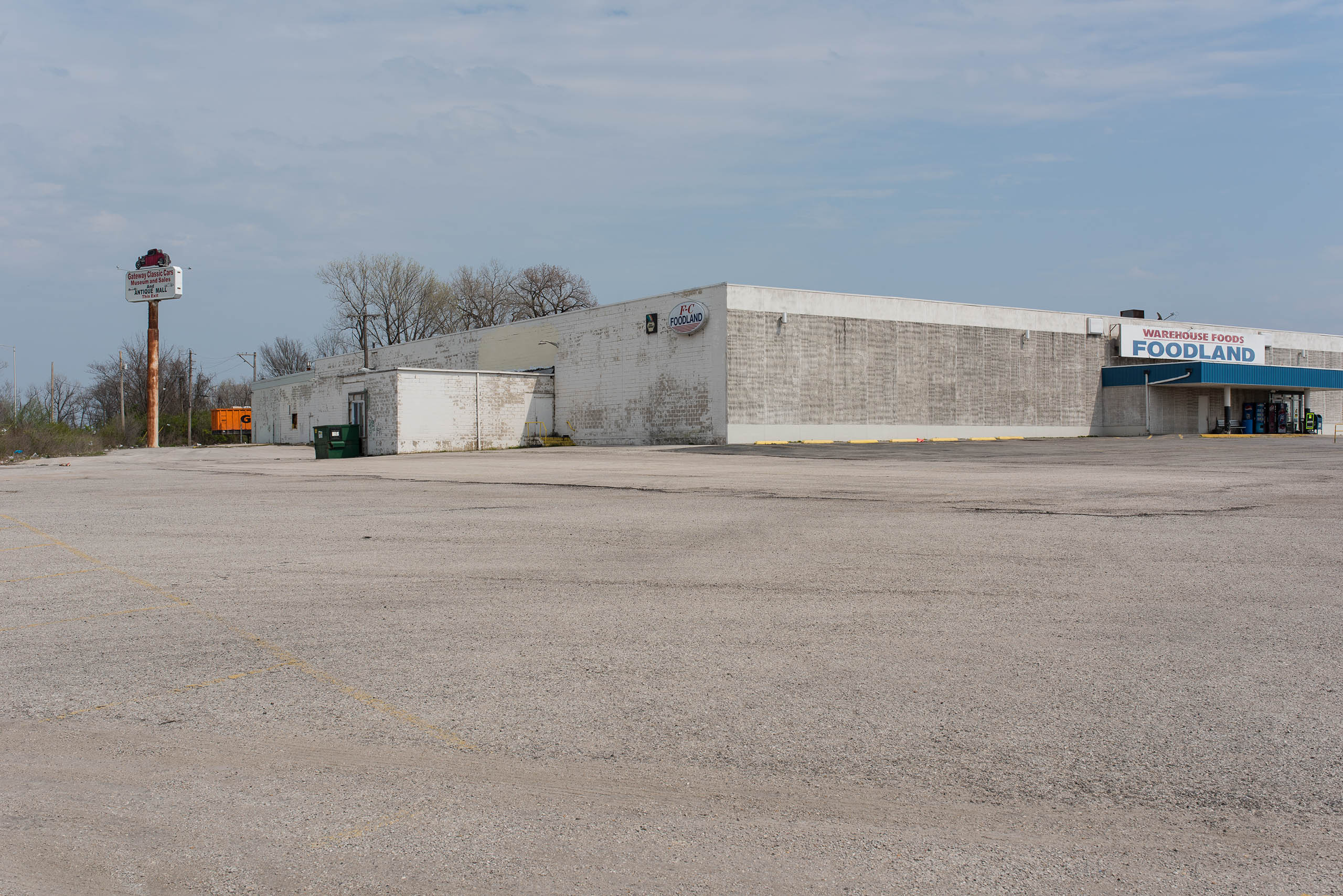
Powell Mound was of particular interest to early archeologists, as it was the second largest of the Cahokian precinct mounds. Yet the relentless mound removal of the late nineteenth and twentiethth centuries left this large tumulus flattened. In late 1930 and early 1931, surrounded by a group of spectators and an occasional archeologist, a steam shovel dug away at the body of this mound, revealing, then destroying, a large group of elite burial sites. The Powell family reportedly had a standing offer of $3,000 for any group that wanted to save the mound for preservation and exploration, but when no group stepped forward, and following rumors of the impending use of eminent domain, the family moved ahead with clearing the mound for agricultural purposes and filling in low spots elsewhere on their farm. The work dismantling the mound started on its north side, with the steam shovel hidden out of view from the highway by the massive mound, and proceeded for over a week before the public was aware that demolition had begun. Today the site is marked, one might say, by the itinerant businesses that inhabit the large strip mall of the former Gem International store and parking lot at the northeast corner of Collinsville Road, Kingshighway, and State Route 111.