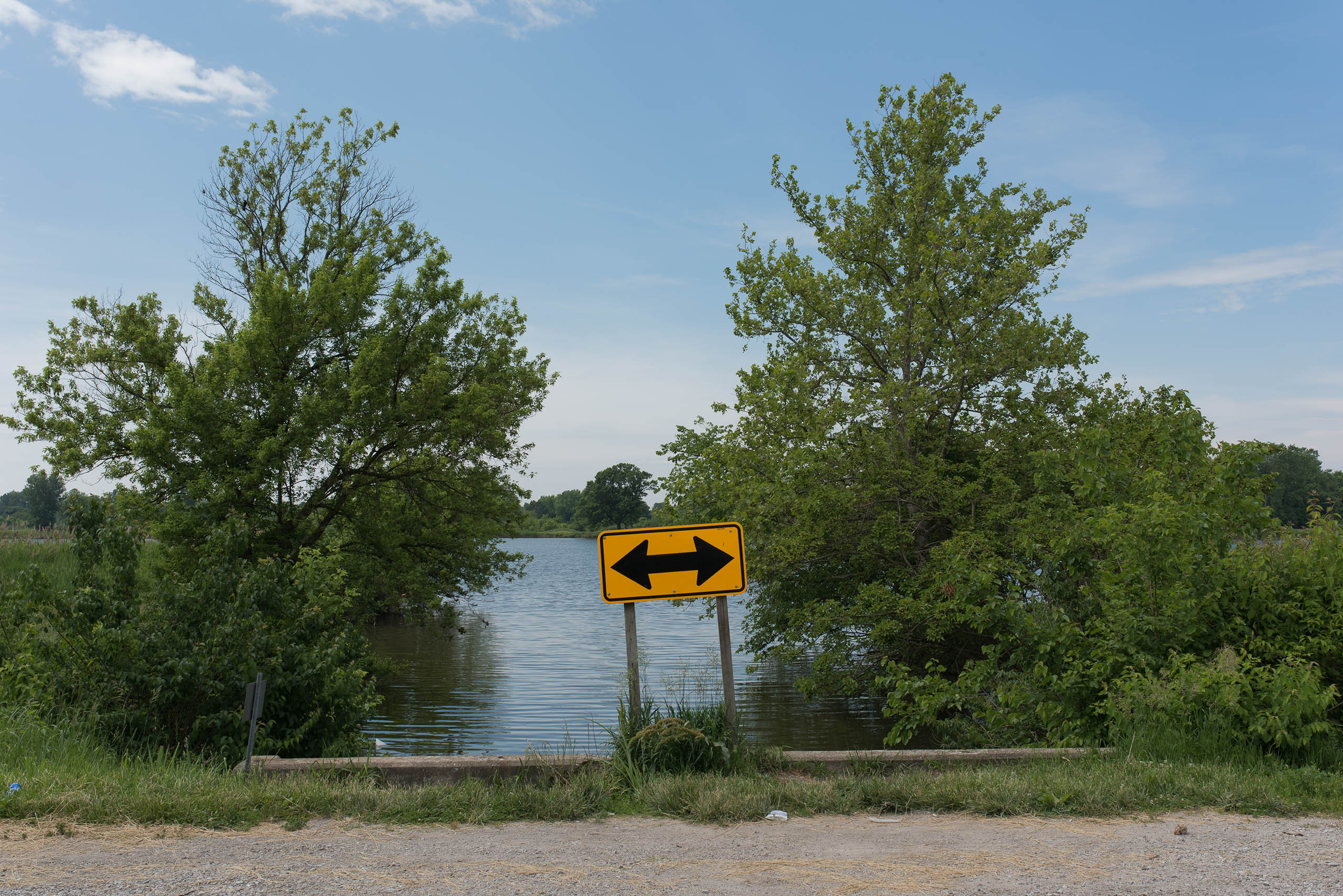


Arcing across the bottomlands are a number of remnant lakes from former Mississippi River courses. Early maps of the region show extensive bodies of surface water connected by perennial sloughs and swampy creeks, cascading in crescents from Wood River down to East St. Louis. One of the largest of these remnant lakes was given the name Grand Marais (translated from the French as “Great Marsh”) by early travelers and cartographers. This great marsh formed a backward “C” approximately seven miles long, following the edge of the bluff on the far southeast and bending northwest into what is now the city of East St. Louis. This marsh once teemed with fish and various waterfowl—and an oft repeated anecdote recounts how the wild swans, geese, and ducks were so numerous that it was almost impossible for people living near them to sleep at night on account of the quacking and general commotion caused by the wildfowl. It is still the largest remnant waterbody in the American Bottom besides Horseshoe Lake. Over time, portions of the marsh were drained, embankments were built, and railroad dykes severed its arc into discrete units. Three of those units are the lakes that dot Frank Holton State Park, with the southeasterly end continuing to form a marshy base to the limestone bluffs. The northerly lobe of the Grand Marais once stretched across what is now the North Alcoa Superfund Site—where Alcoa used the convenient depression of the lake to dump its red-mud slag from the aluminum smelting process.